
Hydrodynamic assessment of hard-bed interventions in a major navigable river
Hydrodynamic modeling and environmental assessment to support navigation improvements along the Paraguay River.
Overview
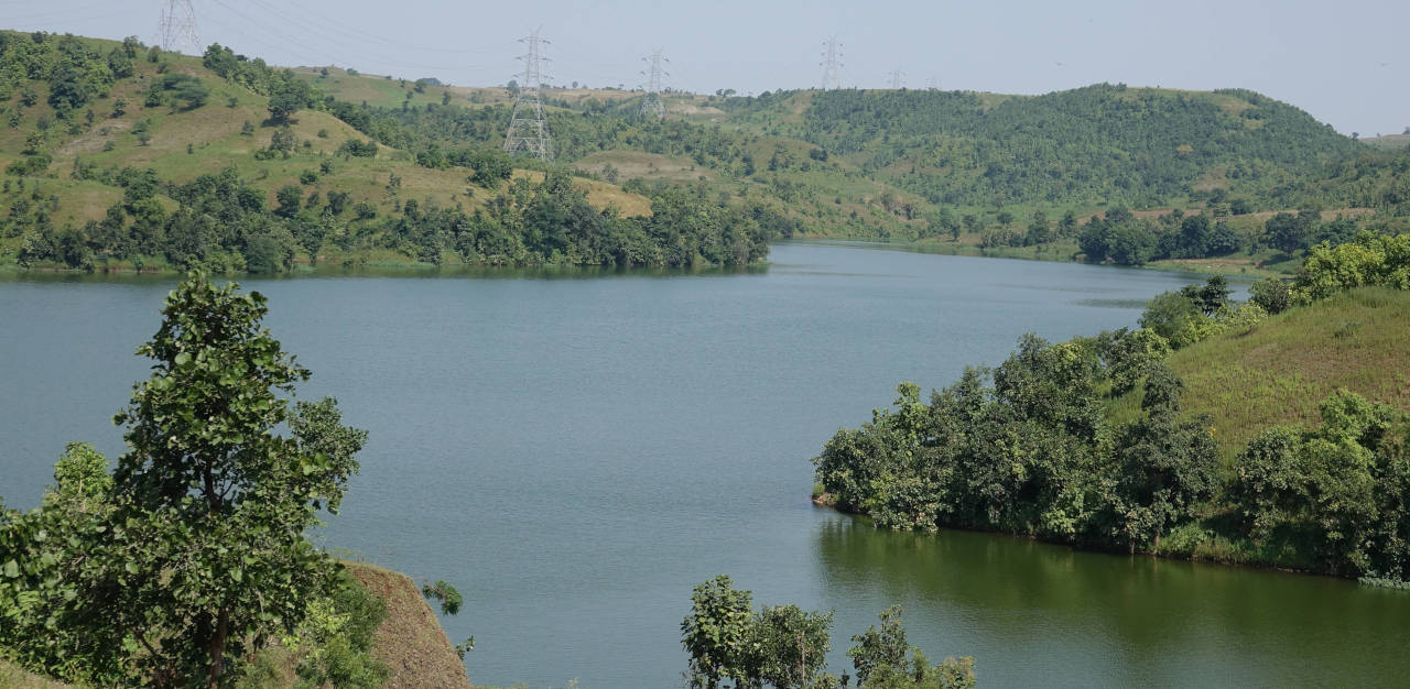
Navigation along the Paraguay River depends on maintaining sufficient depth through a series of naturally shallow segments known as pasos. In several of these, the riverbed consists of compacted or rocky material, forming hard bottoms that may restrict vessel draft during low-water periods. Proposed interventions aim to improve navigability while ensuring that the hydraulic response of the river—and its broader environmental setting—remains within acceptable limits.
HCS contributed to this effort through a hydrodynamic modeling study designed to quantify the potential effects of deepening several hard-bottom reaches. The work supported the technical evaluation of navigation improvements within an environmentally sensitive and hydrologically complex system.
The Challenge
The Paraguay River exhibits strong seasonal fluctuations and has recently experienced extreme low-water conditions. These variations, combined with increasing navigation demand, have intensified the need to evaluate how local interventions could influence:
- Water levels during low-flow periods
- Flow velocities in and around critical reaches
- The propagation of any hydraulic changes upstream or downstream
- Environmental conditions in the intervention zones
Some hard-bed reaches have historically raised concerns about whether they exert hydraulic control during low water, meaning that modifying them could potentially alter upstream water levels. A technically robust assessment was required to understand whether these concerns were justified.
Our Contribution
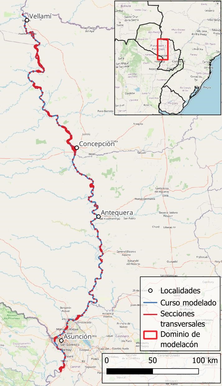
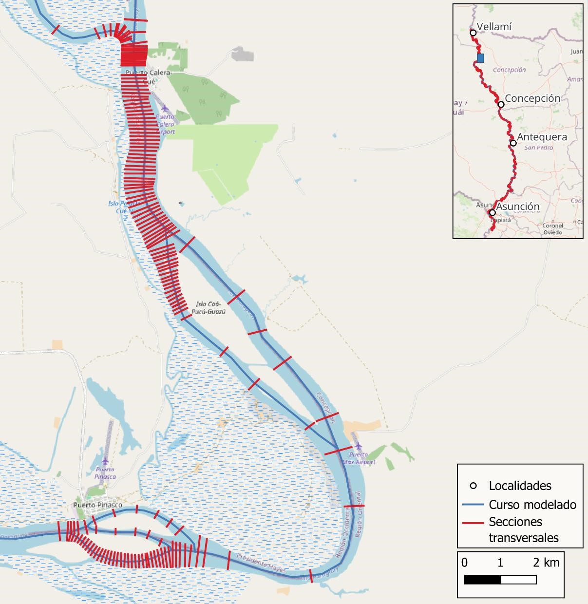
HCS developed a one-dimensional hydrodynamic model representing several hundred kilometers of the river, covering the full set of hard-bed reaches under evaluation. The model incorporated:
- Detailed bathymetric data for each critical reach
- Long-term hydrometric information from stations along the river
- Representative boundary conditions for low-water scenarios
- A systematic calibration and validation process based on observed water levels and discharge measurements
Scenario Evaluation
The analysis involved comparing river conditions with and without the proposed interventions, focusing on:
- Typical low-water scenarios used for design
- An extreme low-water scenario to test system sensitivity
- Variations in hydraulic roughness to bracket uncertainty
For all cases, the model quantified changes in water surface elevation and velocity, allowing a clear assessment of the spatial extent and magnitude of the hydraulic response.
Key Findings
Model results showed that:
- The effects of deepening hard-bed areas are local, confined to the immediate vicinity of each intervention.
- No cumulative lowering of water levels was detected along the large-scale profile of the river, even under extreme low-water conditions.
- Outside the modified reaches, changes in water levels are negligible, and flow velocities remain broadly similar to baseline conditions.
- Variations in hydraulic roughness do not materially alter the overall conclusion: impacts are localized and limited in magnitude.
These findings provided a clear, quantitative basis for decision-making regarding navigation improvements.
Outcomes and Client Value
The study delivered:
- A data-driven hydraulic assessment consistent with the requirements of local authorities
- A validated modeling framework to support the design of navigation interventions
- Evidence-based conclusions showing that proposed modifications do not produce significant large-scale hydraulic impacts
- A technical foundation for integrating engineering decisions with environmental considerations
HCS helped establish a robust understanding of how targeted interventions interact with the broader hydraulic behavior of the Paraguay River, supporting a balanced and well-informed approach to navigation enhancement.
Contact
Request a consultation
Have a hydraulic challenge? Let's discuss how we can help.
Call Us
+54 2324 550433